Services
Custom Mapping
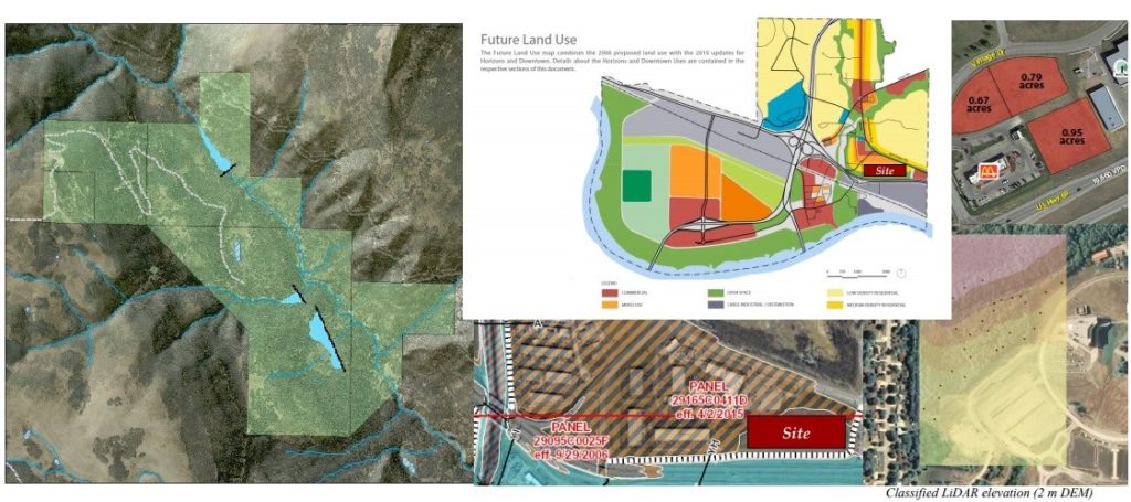
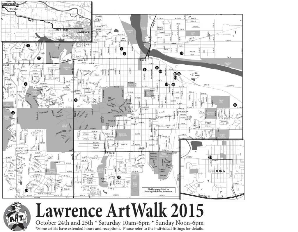
Whether stand-alone or as part of a presentation, professionally designed maps are essential to conveying spatial information. Our cartographic specialists couple an extensive knowledge of traditional map design with advanced software applications to build products that are suitable for use in virtually any business, government or academic setting. Over the past several years, our team members have created maps used for commercial real estate advertising, school zoning, invasive species detection on public lands, airport noise mitigation and real-time mission tracking by the United States Armed Forces. This experience enables MWF Consulting to provide seamlessly integrated custom mapping to a diverse client set. Examples of our work include digital and paper maps for community events such as the Lawrence ArtWalk and flyers for advertising commercial properties on LoopNet.
Spatial Analysis
Beyond mapping products, MWF Consulting provides custom analytics with a focus on business and commercial development. Based on client need, we incorporate multiple variables such as physical features, traffic flow, recent demographic shifts, income growth within a set distance, current local market saturation, local tax rates and price to evaluate properties for their specific commercial use. By utilizing Geographic Information Systems, we are able to pull all these variables together rapidly and present the results both in writing and visually. If your business is considering property acquisition or development, let us furnish you with the geographic information you need build presentations, secure investment and move ahead with confidence.